
Materials and methods
The basis is ringing and recovery data for birds ringed or recovered on the Faroe Islands and surrounding weather. Faroe Islands is situated within the geographical coordinates 61°20'N-62°24'N and 6°15'W-7°41'W. The surrounding weather is defined as two squares (with overlap): 59°45'N-63°00'N and 4°00'W-14°00'W and 62°00'N-65°45'N and 0°30'W-12°00'W. This definition is close to the official Faroese territorial waters.
The data includes ringing done by private and governmental bird ringing centers, who have been ringing at the Faroe Islands: Vogelwarte Rossitten, Dansk Ornithologisk Central, Roskildefjordens Ringmærkningsstation, British Museum London (BTO), Vildtbiologisk Station Kalø and Zoologisk Museum (today the Natural History Museum of Denmark).
Further details about the materials and methods are available in Danish here (pdf file).
Acknowledgements
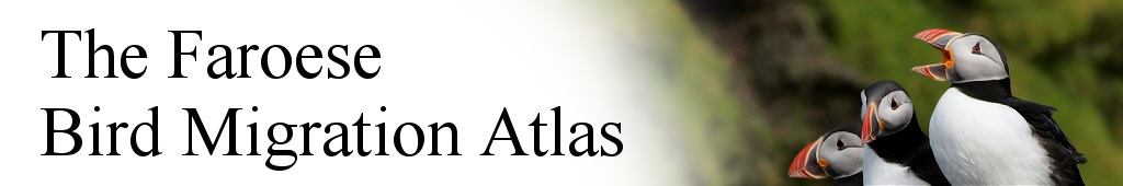
Thanks to all the photographers who have made beautiful and illustrative images available for this project (list of all photographs is available here as a pdf file). All photos are from the Faroe Islands.
Thanks to the Aage V. Jensen Charity Foundation for financial support, which have enabled this project.
The majority of ringing data presented here are the result of work done by voluntary bird ringers. This project is dedicated to all these ringers as thanks for the help.
Also thanks to all the many thousands of people over the years who have submitted information on ringed birds. This project could not have been possible without them.
The booke has been prepared by Sjúrður Hammer, Jesper J. Madsen, Jens-Kjeld Jensen, Kjeld T. Pedersen, Dorete Bloch og Kasper Thorup - and publiched by Fróðskapur - Faroe University Press in 2014 (ISBN: 978-99918-65-52-2).
The website has been prepared by Jesper John Madsen, Kasper Thorup and Jens Søgaard Hansen.
Webmaster is Jens Søgaard Hansen.